
Why Red Slate Mountain:
It’s been a few years since I’ve done a backpacking trip in the Eastern Sierras, home to all but two of California’s highest peaks. My friend Andrew suggested we do something in the first week of August. When looking for permits online, I saw two open spaces for the McGee Creek trailhead, a trailhead that is normally booked solid for summer weekends. Without much research, I booked the permit.
We ultimately decided on a 1-night backpacking trip to climb Red Slate Mountain, a 13,000 ft peak near the end of the formal trail.
August 2, 2025: A Slog
After spending the night near Big Pine, I drove into Bishop where I got breakfast and met up with Andrew, who drove in from the north. We made a quick stops for food at the famous Erick Schaat’s Bakery for sandwiches and Mahogeny Smoked Meats for beef jerky and then hit the road.
The temperature in Bishop was a steamy 99F but I knew it would cool off at the higher elevations.
45 minutes north of Bishop off US-395 and a few thousand feet up, we turned onto a narrow-paved road that would take us to the trailhead, elevation 8,000 feet above sea level. Despite the elevation, the landscape was still the desert meadows.
After unloading our gear, distributing group gear and packing up, we headed out unceremoniously at 10:30 AM.
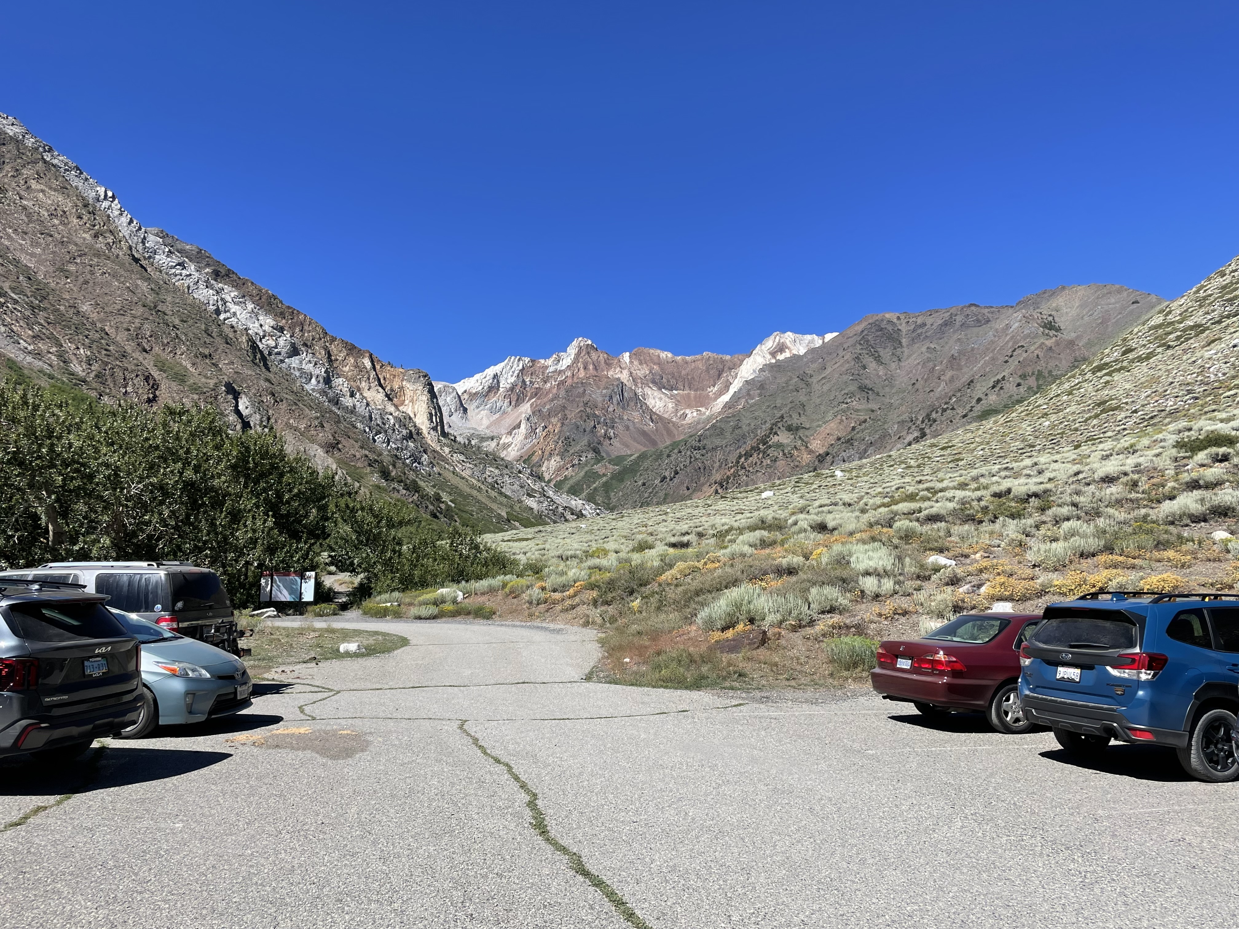
The first few miles of the trail followed McGee Creek through the steep treeless canyon. Tall red rock peaks of the High Sierra were visible on either side.
As we climbed, the landscape slowly but surely became lusher. An hour in, we rested under the shade of one of the first real trees to appear on the trail.
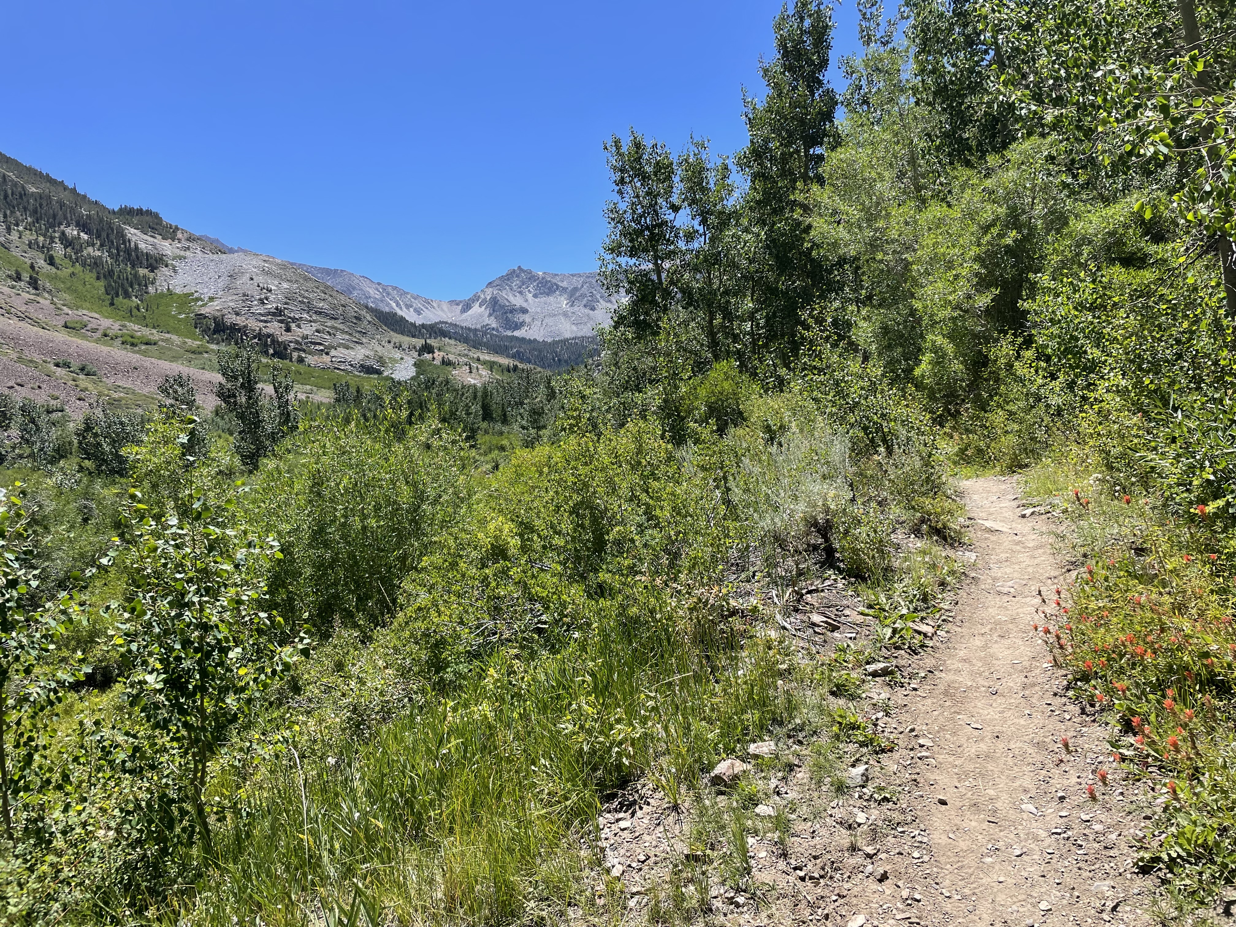
The landscape transitioned to more of a scrubland and then a lake appeared. By the time we crossed the creek, we had walked nearly 4 miles of moderate uphill.
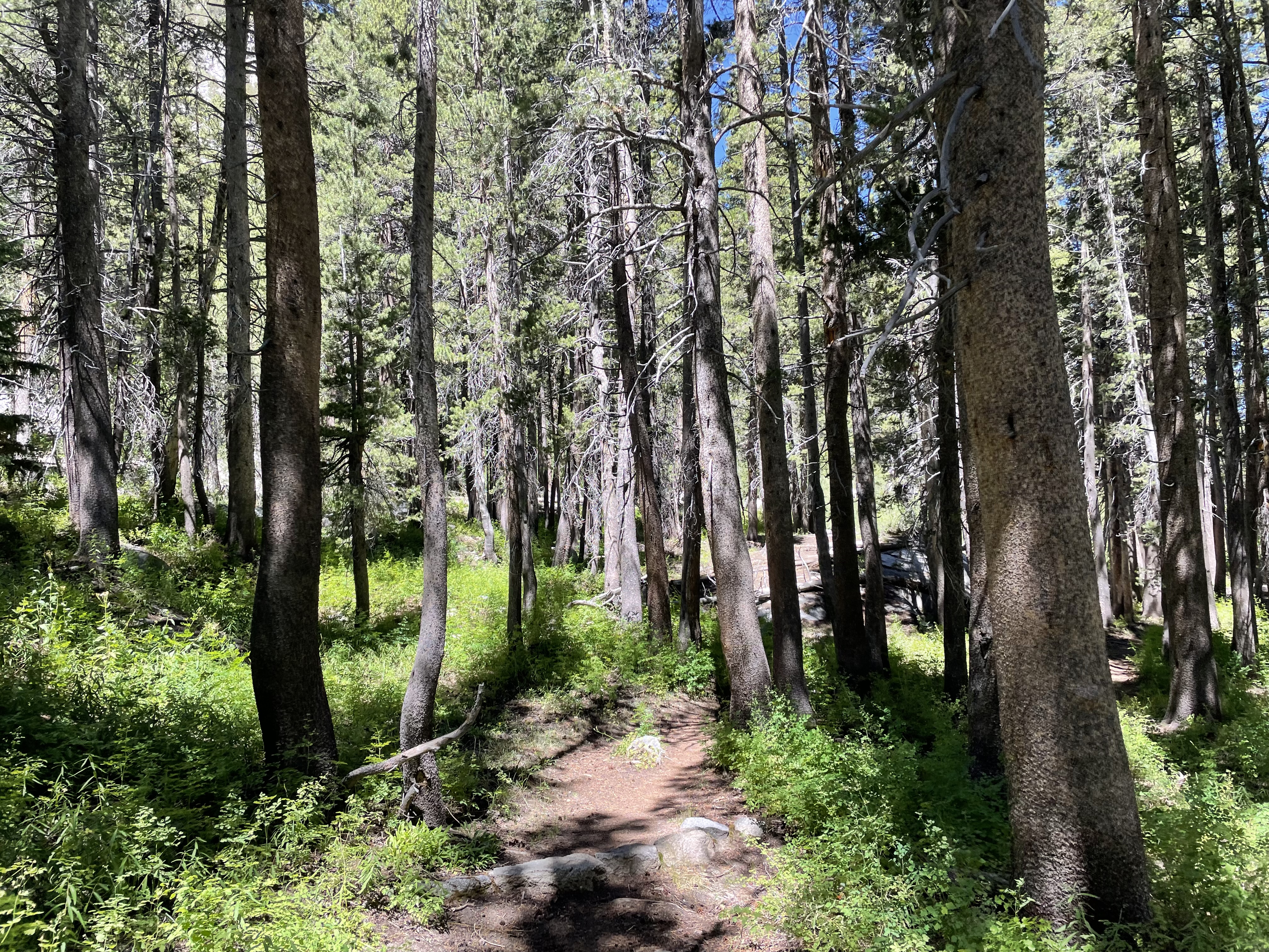
Beyond this point, the landscape shifted dramatically, as we were now in a thick conifer forest. The shade was welcoming but the trail steepened considerably.
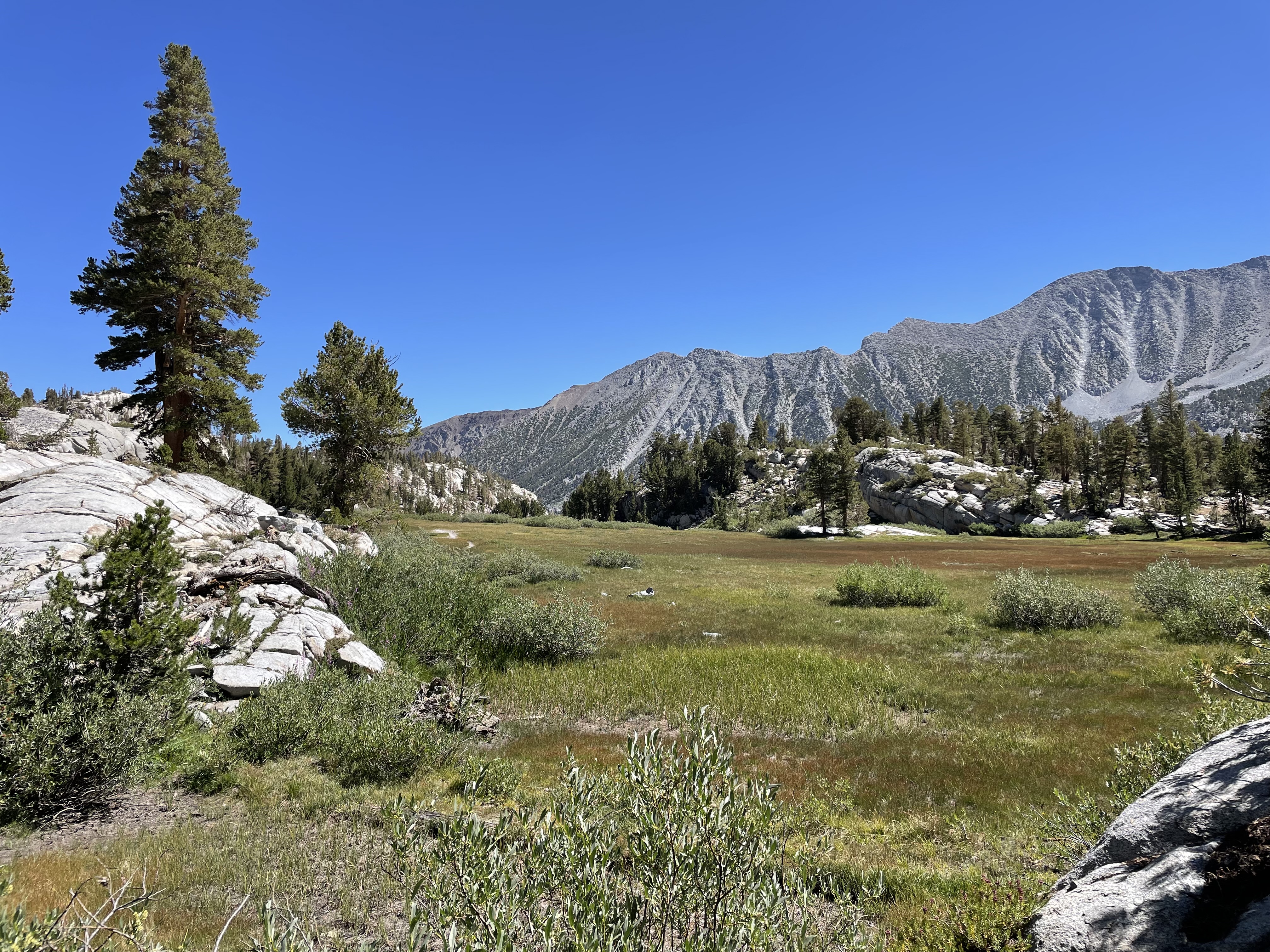
After three significant uphill pushes and 6-ish miles of total walking, we had finally reached the majestic McGee Basin. With green meadows, alpine lakes and sporadic trees, this was as beautiful as alpine scenery gets. Had the hike-in been shorter, this basin would be a major tourist destination, but luckily most people are gatekept out.
There are numerous impressive alpine lakes in the McGee Basin but the crown jewel is Big McGee Lake.
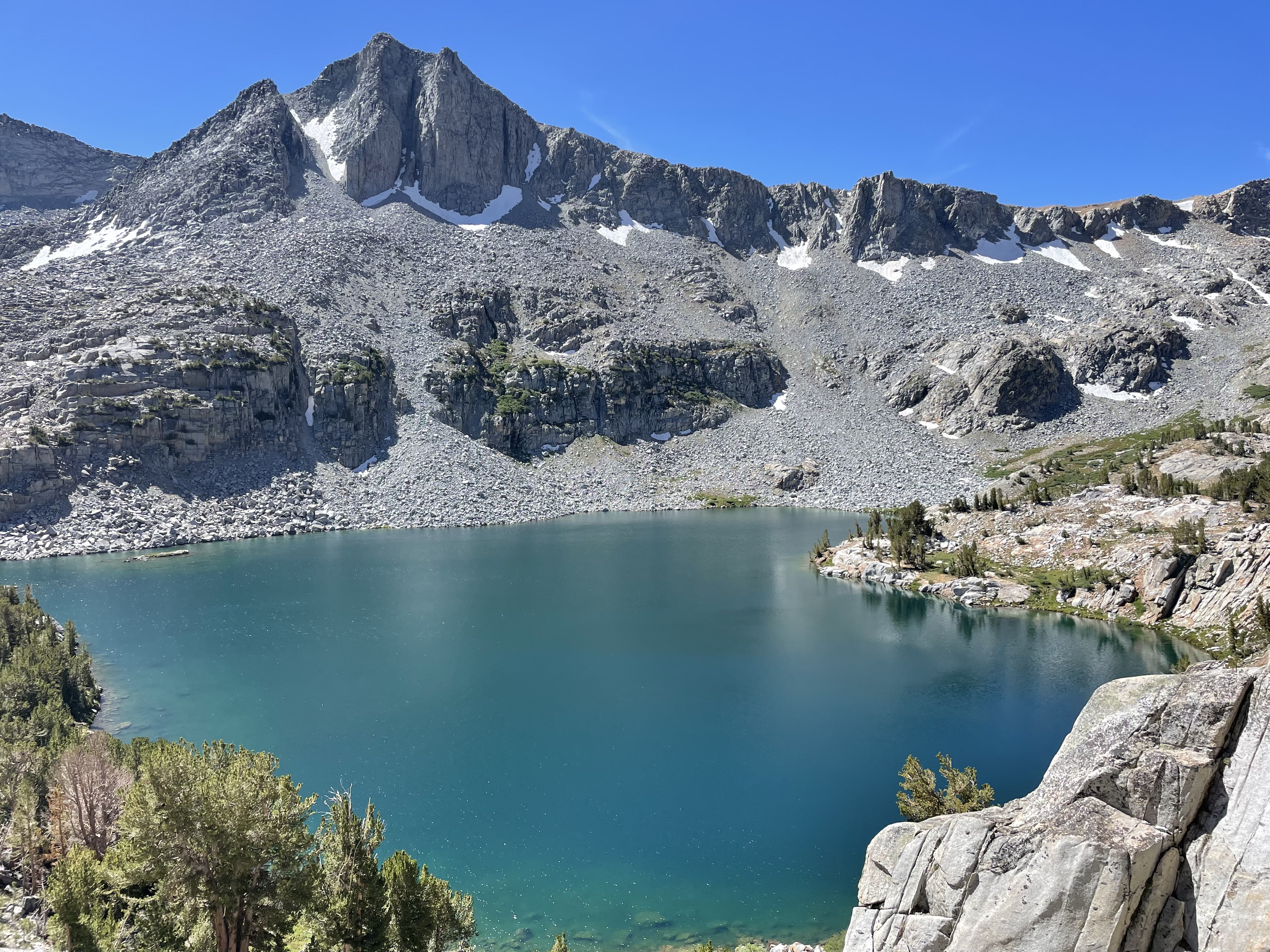
Past Big McGee Lake, we continued further uphill to reach our campsite at Little McGee Lake, elevation 11,000 and above the tree line. We had hiked uphill for five hours and climbed about 3,000 vertical feet over 8 miles– no easy feat with a pack!
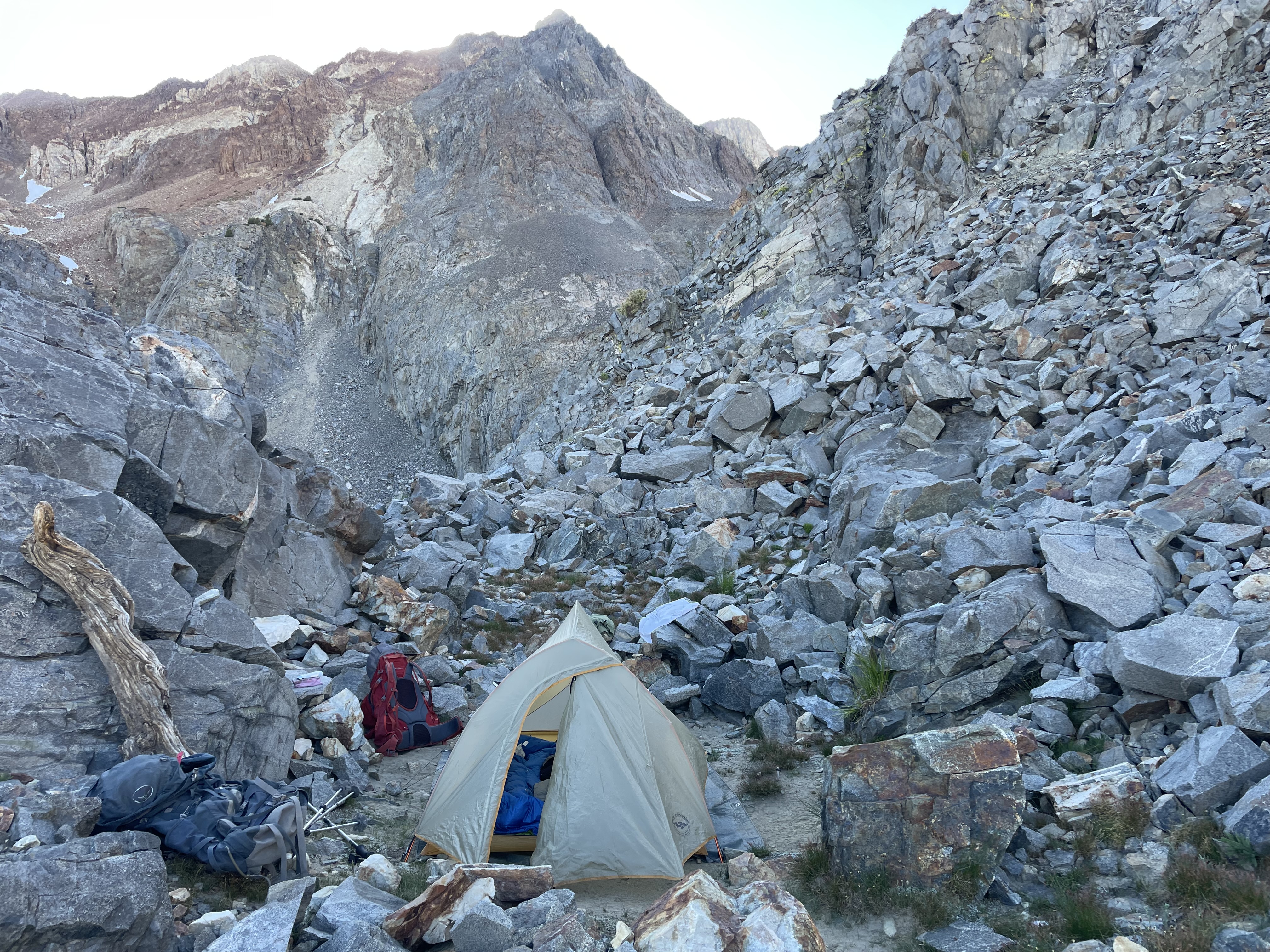
It was now about 15:00. With the sun setting in 5 hours, we had the option to climb Red Slate Mountain or rest up and climb in the morning. We opted for the latter for a few reasons: 1. This is the protocol. 2. We would have more time to acclimatize 3. We would not have to worry about getting caught in a bad situation in the dark and 4. We would get to spend a lovely afternoon at the lake.
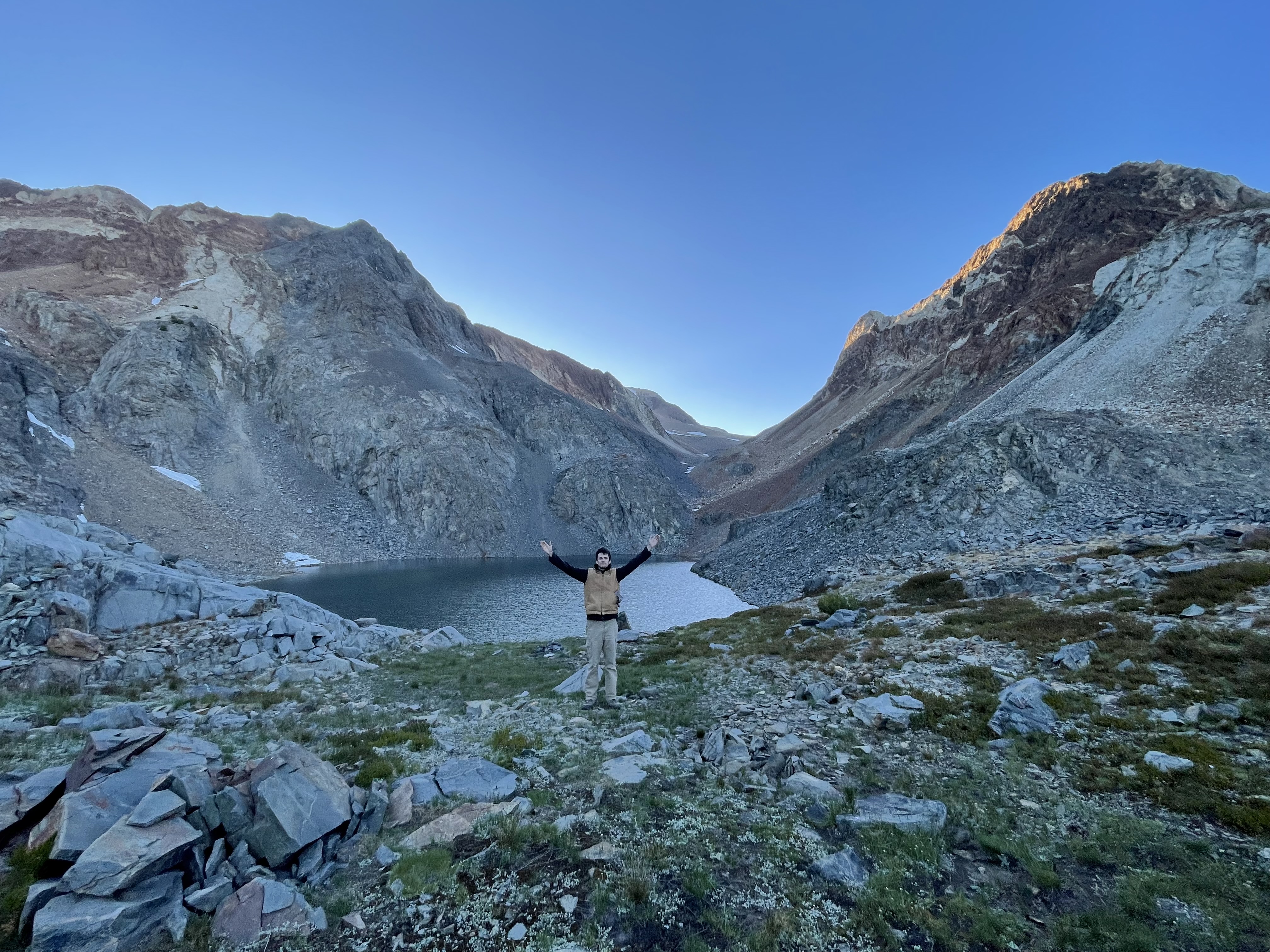
The day slowly passed by. We refilled our water using Andrew’s new gravity filter and hung out at the lakeshore. We watched someone paraglide off one of the nearby peaks. Andrew swam in the freezing lake. We made dinner – long expired backpacker meals and astronaut ice cream for dessert.
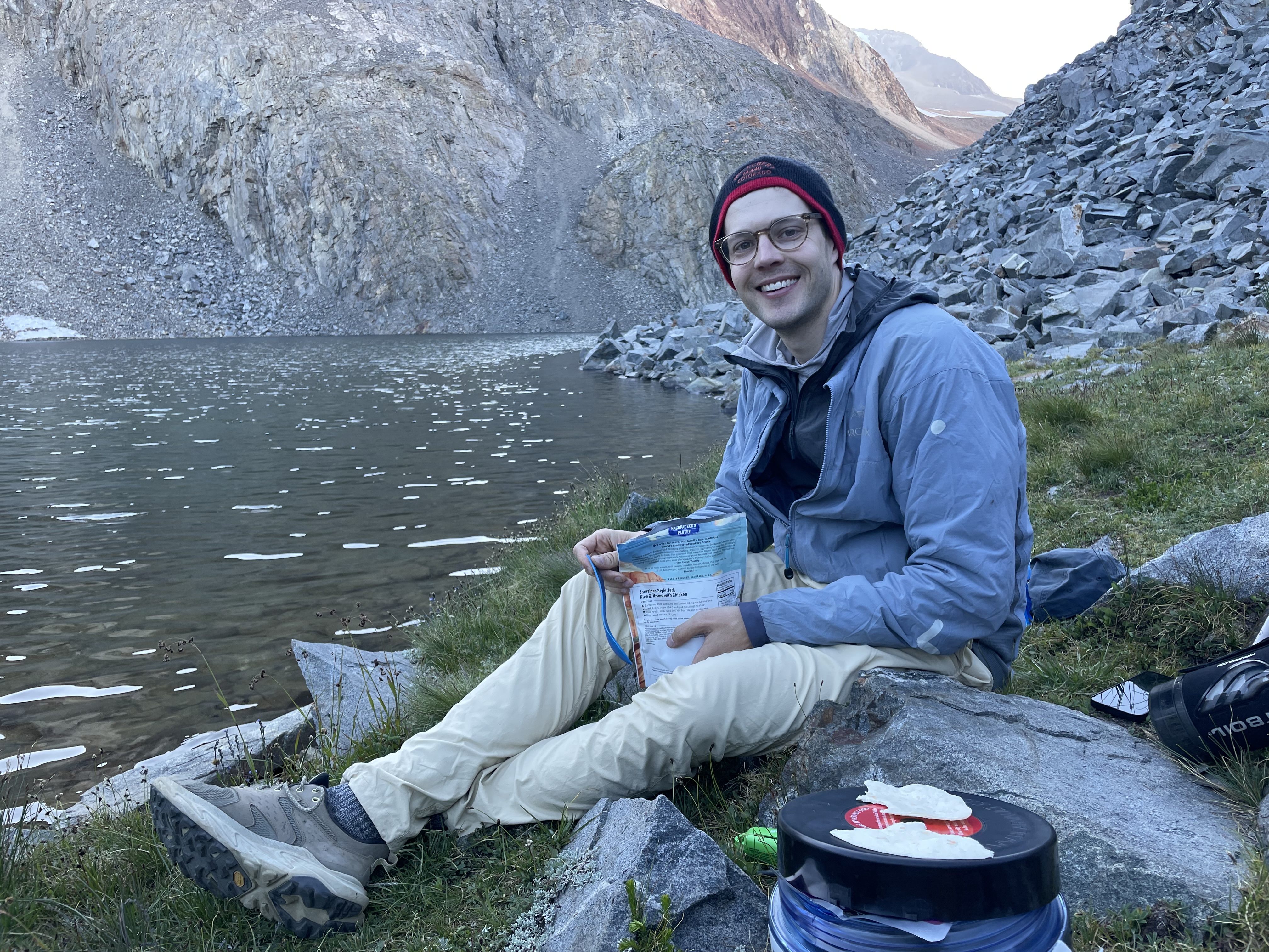
At 20:00, we attempted to go to sleep for the big day tomorrow. Since the sun was still up, we were not very successful but eventually did fall asleep.
August 3, 2025: Red Slate Mountain
After an …. eh night’s sleep, it was time to climb the mountain.
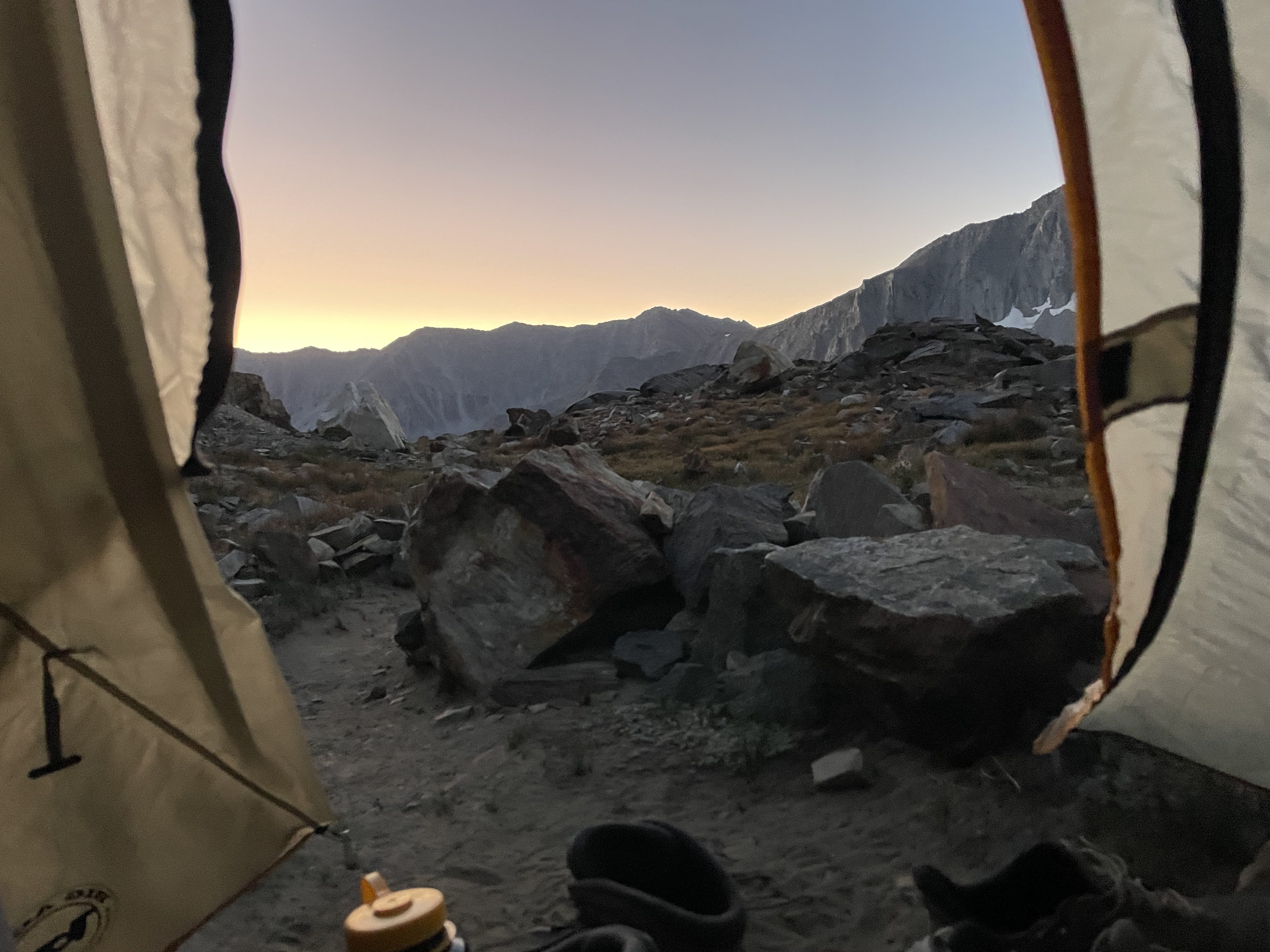
We woke up at 5:30 and started moving at 6:00. The first half of the climb involved ascending the McGee Pass.
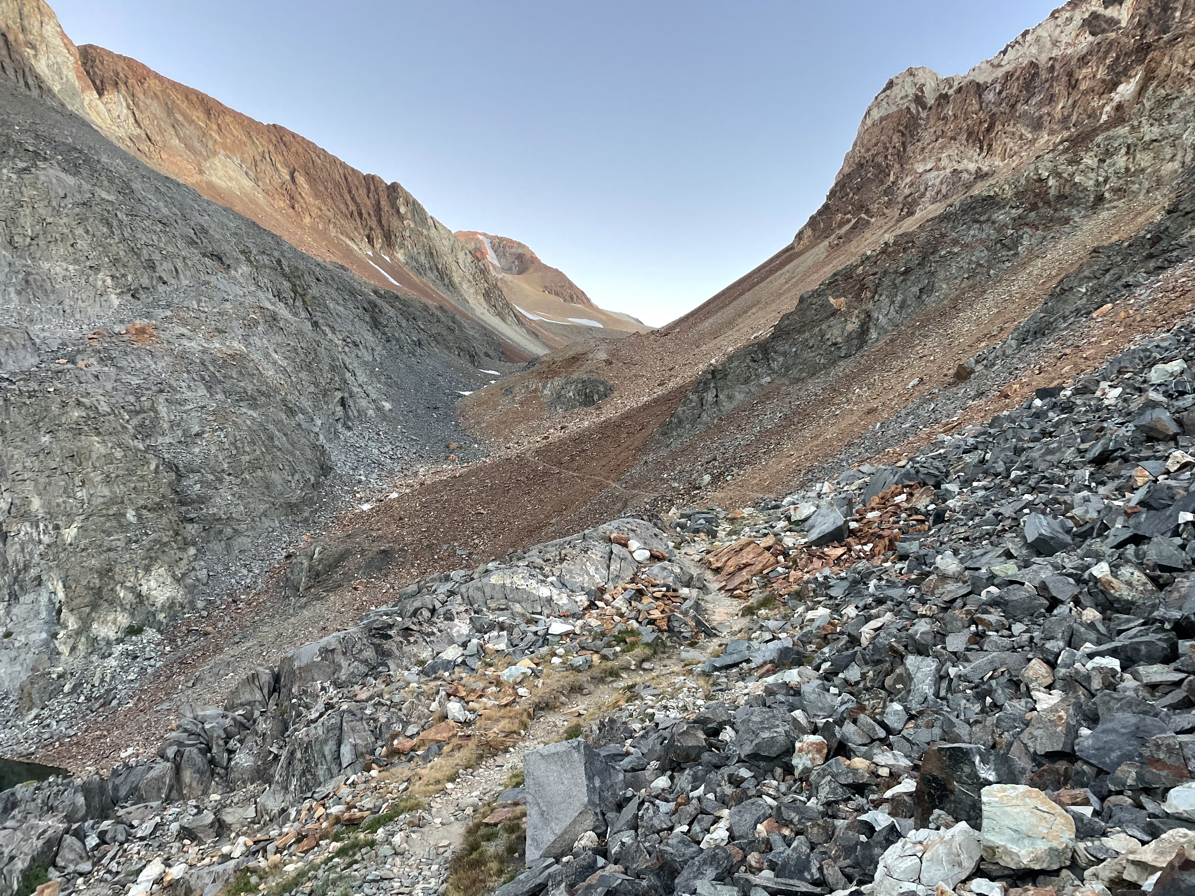
The trail worked its way along otherworldly red and white rock above an ice-covered lake. The terrain reminded me of the final battle scene in Star Wars Episode 8.
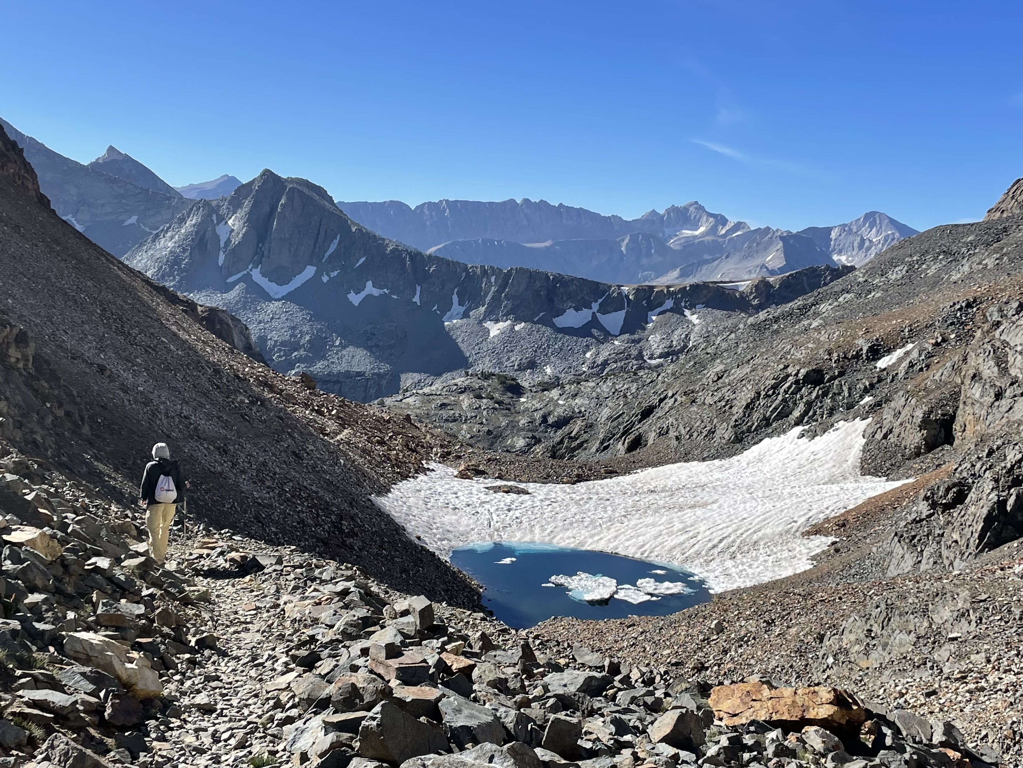
An hour in, we reached the pass, elevation 11,900 feet. The pass marked the crest of the Sierra Nevada Mountains and the border between Mono and Fresno Counties. Looking down the other side, we could see the lush forests of the western Sierras.
Finally, our goal, Red Slate Mountain came into view. It is a monster of a mountain: an intimidating behemoth of rock staring us in the face.
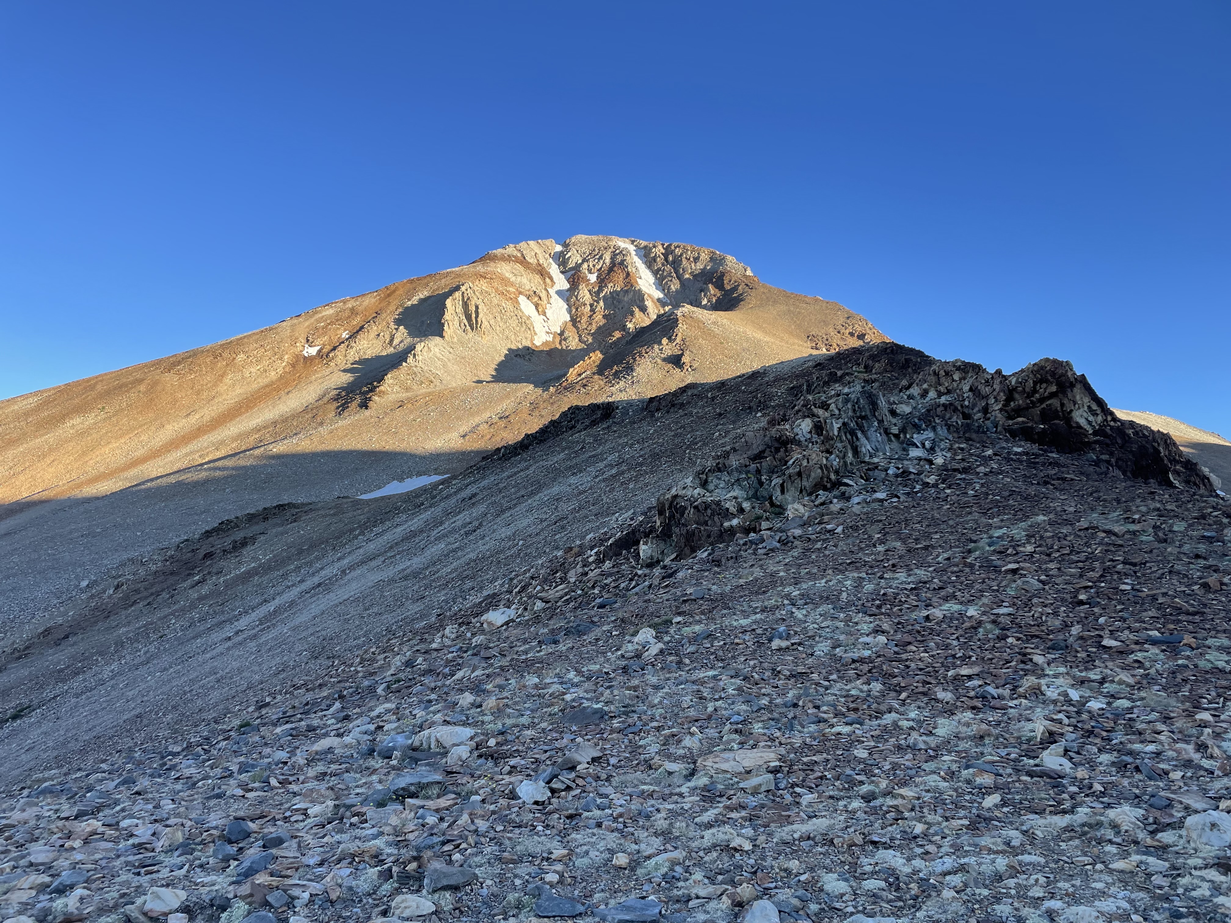
While the official trail ended, we were able to follow a use trail up the slopes.
The terrain was steep and the wind and cold made it difficult. I was glad we were doing this after a night’s sleep.
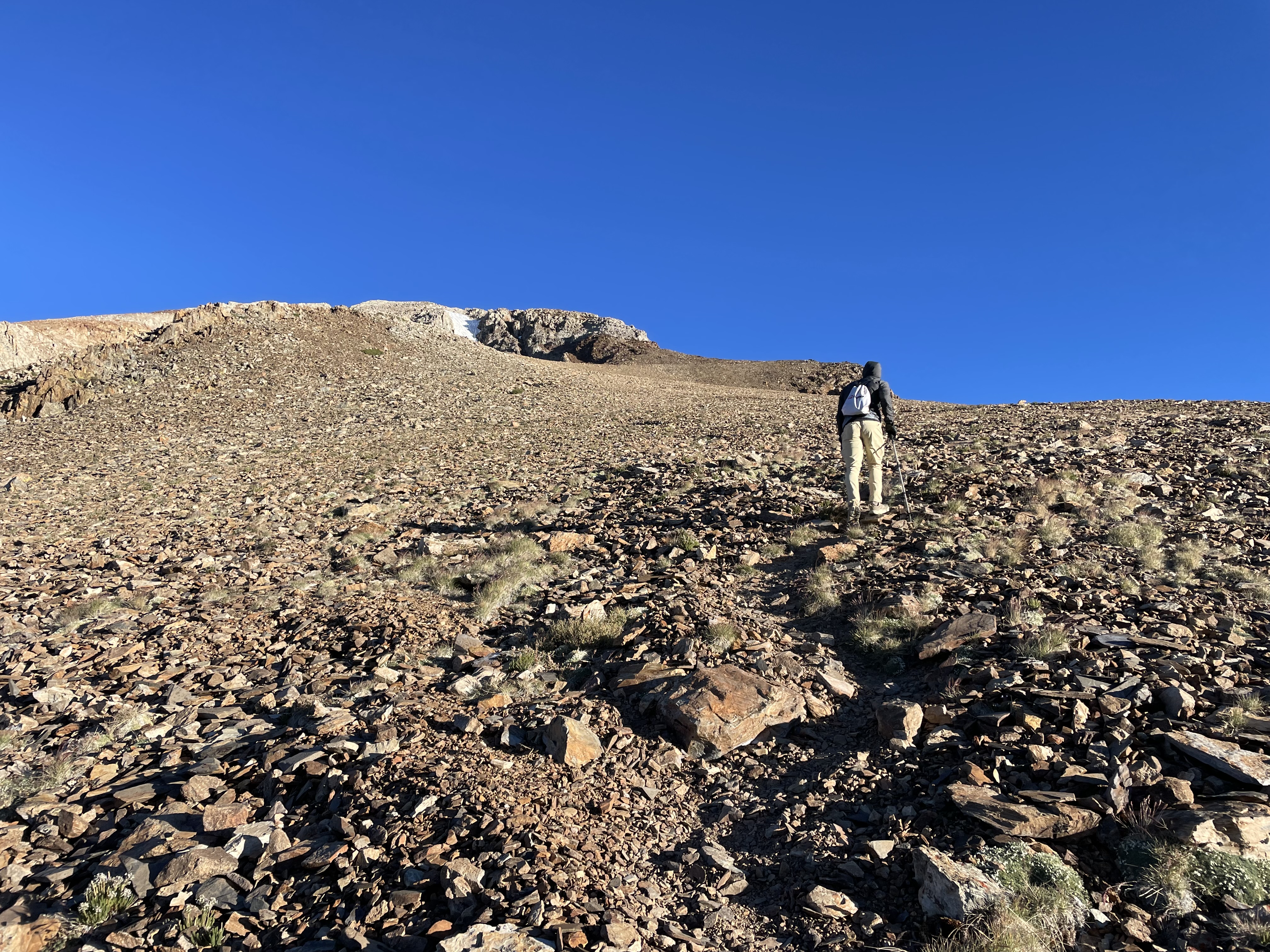
The crux of the climb came when we transitioned from the red rock to a white rock. There were a few class 2, maybe class 3 moves with exposure.
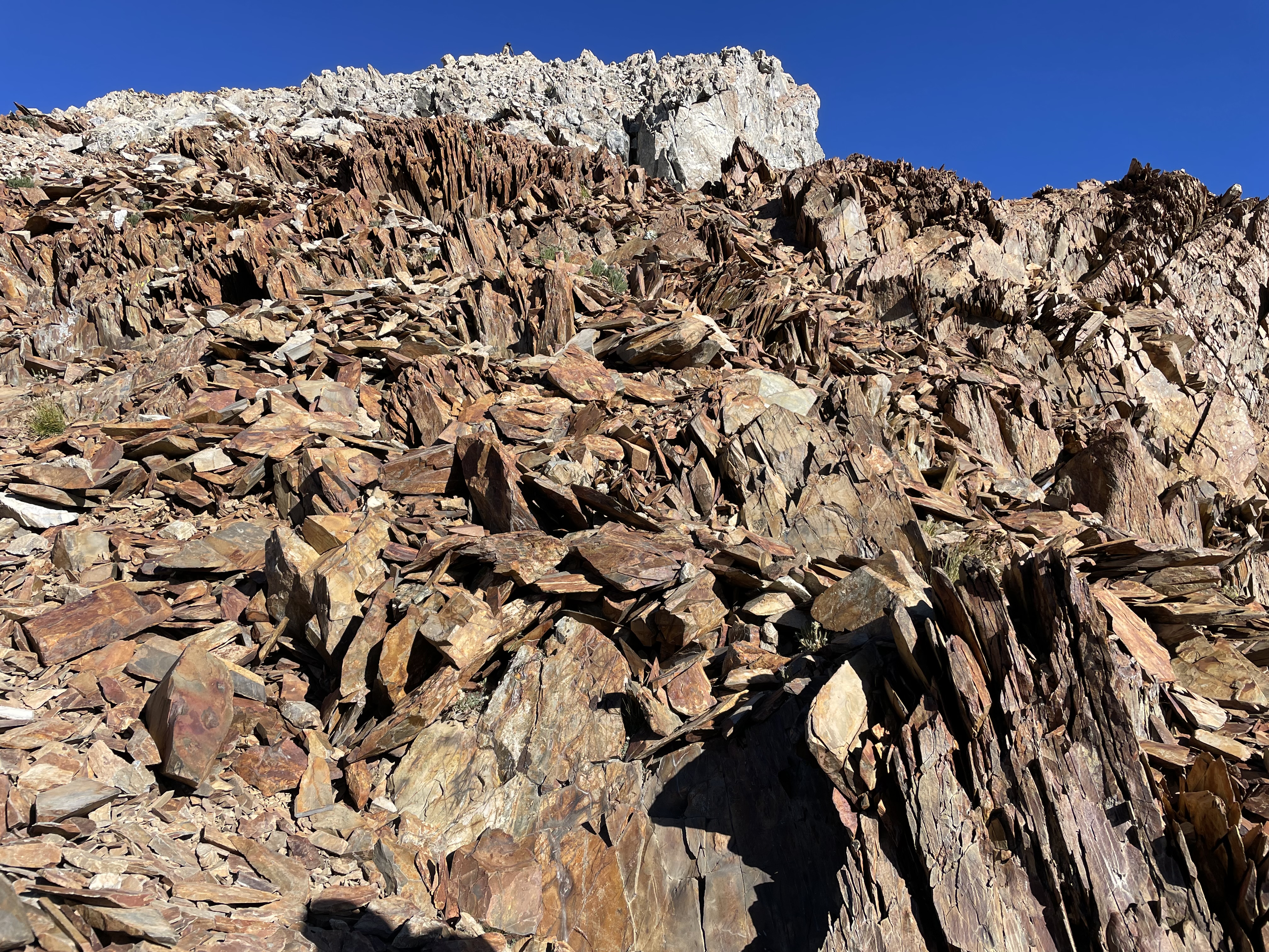
From there, it was a straightforward walk to the summit: 13,140 feet above sea level. We summited at 7:30 am.
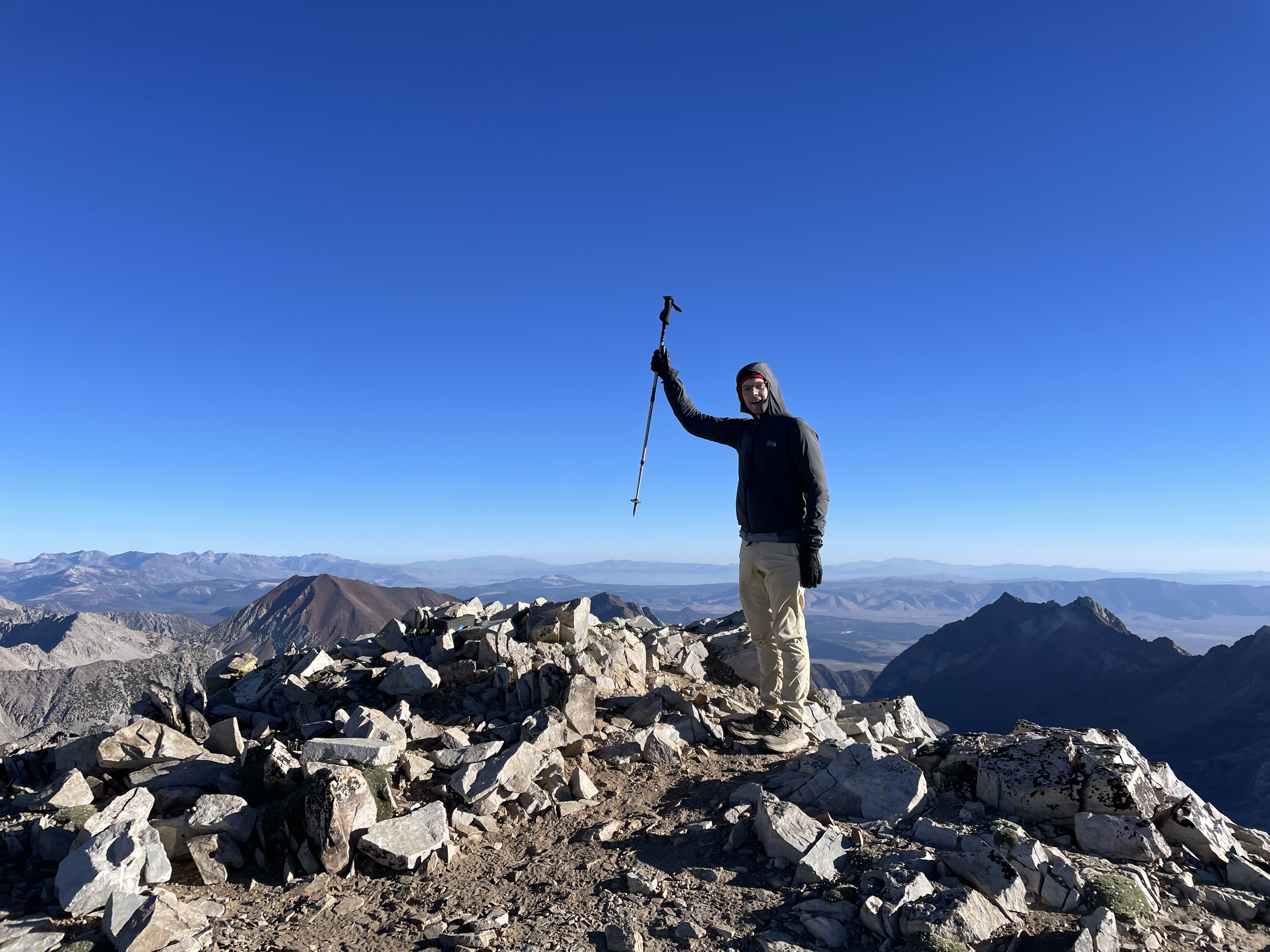
The summit had an incredible 360 degree view of the Sierra Nevada. With no higher peak north of us in the chain, we had views of the Ritter-Banner area as well as the edge of Yosemite. To the south, we could see the high peaks of the Palisades. To the east, we could see the White Mountains which extend into Nevada. And to the west we would see into the Sierra National Forest and could make out the location of the Central Valley. Really something!
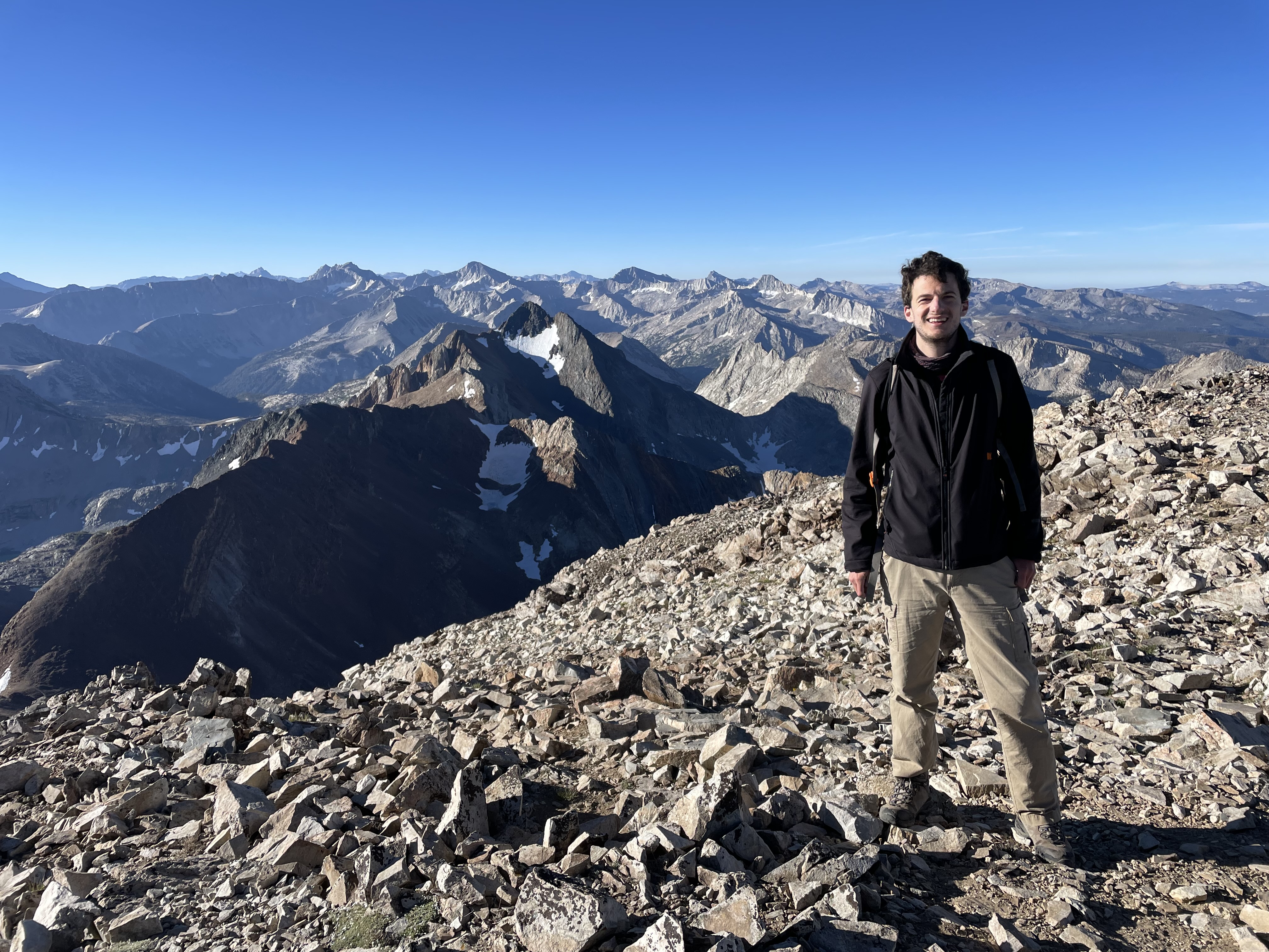
We spent a total of 15 minutes on the summit before heading back.
We reached our camp just after 9.
We spend an hour packing up and hit the trail at 10:00. The walk down was easier than the walk up but still was a 3.5-hour slog back to the parking lot. The soles of my shoes started coming apart.
The total stats for the trip were 20 miles with 5,000 feet of elevation gain. Whew!
After resting up, stretching and soaking my feet in a creek, I started the 4.5-hour drive home.
Final Thoughts:
Even though we didn’t climb a 14er, this was a memorable climb. The scenery, especially from the 6-mile mark on, was stunning. I don’t like to chill very much when hiking so, two days was the perfect amount of time to spend here.
Before the hike, Andrew went to ChatGPT and asked it to give grades to various trailheads in the Eastern Sierras. It gave McGee Creek a B+ because it takes a long time to reach the good scenery. I would agree with this assessment.

Leave a Reply